

Exploring for the Future
As part of a wider Australian Government initiative to boost exploration for resources in northern Australia, Geoscience Australia (GA) is leading the four-year Exploring for the Future (EFTF) program to help identify potential mineral, energy, and groundwater resources across the region.
EFTF is generating new geoscience data on existing and potential resource-rich regions to reduce risk for private investors, and improve the likelihood of important discoveries.
The organisation’s leading scientists and technicians are using innovative tools and techniques to gather new data and information including: airborne electromagnetic surveys, stratigraphic drilling, deep seismic reflection and gravity surveys, geochemistry, and magnetotelluric mapping. Combining all these datasets will mean northern Australia is one of the most thoroughly mapped parts of the Earth’s crust.
Geoscience Australia is working with a range of stakeholders, including state and territory government agencies, local councils, pastoral leaseholders, local indigenous groups, and Land Councils to deliver the program.
The new information will help to improve government, industry and community understanding of the potential resources available. For example, new groundwater information will support Australia's environmental outcomes. The program is integrating several methods to build a comprehensive picture of groundwater resources in several targeted areas, ensuring communities have access to water supply, and the development of sustainable agriculture is supported.
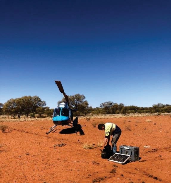
Above: Installing Manetotelluric data collection equipment in the NT to better understand geological structure deep below the ground.
A recent release of soil geochemistry data over completed between Mt Isa and Tennant Creek reveal new potential areas for copper, zinc and nickel. The data are also valuable for agricultural management and environmental monitoring. Farmers can use the data and maps to assess soil fertility and inform sustainable crop production and cattle grazing management over areas such as the Barkly Tableland region of the NT and Queensland.
The data will be made publicly available and published on an ongoing basis through the Exploring for the Future website.
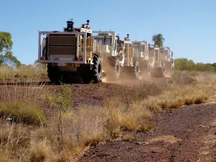
Above: Vibroseis trucks alongside the Barkly Highway, Queensland, working on the South Nicholson Basin seismic line
For further information visit the Geoscience Australia, phone +61 2 6249 9111 (Mon-Fri, 9am to 5pm AEST) or email eftf@ga.gov.au
Give feedback about this page.
Share this page:
URL copied!