

An experts opinion on future northern Australia rainfall due to climate
Robyn Cowley, Senior Rangeland Scientist, Livestock Industries Development
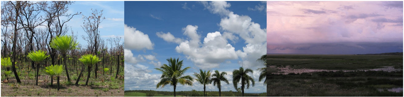
When it comes to predicted climate change in northern Australia, there is a lot of uncertainty about how rainfall might change, which is not very helpful because rainfall is the most important driver of agriculture! So I was very interested to see a recent webinar on future rainfall in northern Australia that provided new insights in this area. For more information visit the Earth Systems and Climate Change Hub.
Dr Josephine Brown from the Bureau of Meteorology modelled future rainfall (2070 to 2099) for northern Australia. She used 35 different global climate models and looked at a number of emissions scenarios – basically different estimates of what carbon dioxide levels might be in the future.
There was a big variation in future rainfall predictions between the different models, with 43% of models predicting it will be drier, 37% predicting wetter, and the remainder not predicting much change. This study investigated why the models differed in their rainfall predictions to work out what is more likely.
- The models that predicted a much drier future were not very good at simulating tropical climate patterns, so are probably unreliable. This left the models that predicted no change or wetter.
- Dr Brown then looked at the effects of aerosols on future rainfall (this is the first time I have seen this included in climate change projections for our region).
- Aerosols (pollution from fires, cars, power generation and industry) are very important in predicting rainfall because 1) they cool the planet by scattering and absorbing incoming radiation, and 2) water vapour condenses on the aerosol particles (condensation nuclei), creating clouds, which increases rainfall.
- Some climatologists think pollution over Asia may have contributed to recent higher rainfall over north-western Australia (Victoria River Downs to Kimberley) since the 1970s (e.g. see boxes below), but whether the higher rainfall is due to natural variability, aerosols, or both is still an active area of research.
- They think pollution over Asia has contributed to the relative cooling and drying of that region. When climate change models assume that aerosols will decline in the future due to better pollution controls in Asia, the Australian monsoon gets drier and the Asian monsoon gets wetter again, i.e. back to what it was like around 50 years ago.
- Most of the modelled future increases in rainfall in north-western Australia are in response to regional climate warming. But if pollution decreases over the Asian monsoon region, a warmer Asian monsoon region would draw rainfall northwards away from Australia. This would offset any increases in rainfall in north-western Australian due to warming resulting from climate change.
- Hence the models that predict the greatest increase in rainfall do not fully include the effects of future declining pollution and aerosols, and may be overly optimistic about future rainfall projections.
- In summary, the reason there is such a wide variation in predicted future rainfall for north Australia between different climate models is that some just aren’t very good at modelling climate in our part of the world (they predict a much drier future) and some don’t include the effect of aerosols (they predict a much wetter future).
- This leaves us with probably little change in future rainfall in northern Australia.
What does this mean?
- It probably won’t get wetter in the future.
- Don’t assume the recent higher rainfall in Victoria River Downs and the Top End (last 40 years) is here to stay.
- Nobody knows how much and when future rainfall will change, so adjust stock numbers to the seasons so that you don’t get caught out as the climate fluctuates or changes.
Rainfall has increased in north-western Australia, but it could decline again
The median rainfall at Victoria River Downs between 1886 and 1970 was 573 mm. Since 1970 the median rainfall has been 820 mm. This very large difference has contributed to higher carrying capacity more recently. But whether the higher rainfall is here to stay is uncertain. Some scientists think that pollution in Asia has caused strengthening of the Australian monsoon over north-western Australia. If this is correct, it follows that if Asian pollution is cleaned up, our rainfall could decline to pre-1970 levels again. Other scientists think that it is just climate variability. Either way, the higher rainfall may not be here to stay.
How has rainfall increased in north-western Australia?
To better understand what has caused increased rainfall in north-western Australia, scientists investigated how wet season rainfall regimes (e.g. localised thunderstorms, monsoonal lows, or tropical cyclones) have changed in the last 50 years (see papers below). They compared whether the different rainfall regimes now occur more often, or if the daily rainfall of the different rainfall regimes has increased.
Actual rainfall at Victoria River Downs since 1886. The last 50 years have been wetter on average. Rainfall data from the Bureau of Meteorology.
What’s changed in the last 50 years?
Both studies found that the average rainfall per day (rainfall intensity) during each of these rainfall regimes has not changed much in the last 50 years. However the frequency of the heavier rainfall regimes, monsoonal lows and cyclones, has increased; while the frequency of isolated thunderstorms has declined. Combined, this has led to higher average rainfall. The wet season in Darwin also now starts earlier (November) and persists longer (April). On average the wet season in Darwin is now 33 days longer than in 1950. At the same time rainfall in September and October has declined.
What does this mean?
There are now more days with heavier rainfall systems during the wet season, leading to higher annual rainfall. Where rainfall is already high (>900 mm), this probably means more runoff and not much more native pasture growth due to nutrient limitations to growth. However the lengthening of the wet season has probably been beneficial for cattle production with pasture staying green for an extra month of the year. In areas with rainfall in the 500 to 700 mm rainfall zone, the higher rainfall probably means more pasture growth but with lower pasture quality.
Although we know that rainfall has increased in the Top End and VRD, no-one knows if this wetter period is a permanent change or whether drier times will return. If they do, pasture growth is likely to decline especially in the central to southern Victoria River Downs.
Further reading
Catto, J.L., Jakob, C., and Nicholls, N. (2012) The influence of changes in synoptic regimes on north Australian wet season rainfall trends. Journal of Geophysical Research: Atmospheres 117(D10).
Clark, S., Reeder, M., and Jakob, C. (2018) Rainfall regimes over northwestern Australia. Quarterly Journal of the Royal Meteorological Society 144(711), 458-467.
Give feedback about this page.
Share this page:
URL copied!